
Recalibrating
Day 3 (Aug 17)
I shivered awake at 3am soaking wet.
I’d left the ceiling fan on and had sweat through the sheets. So much for a “soft” night of sleep. I was actually glad for rough re-entry. “Last chance to harden the fuck up.”
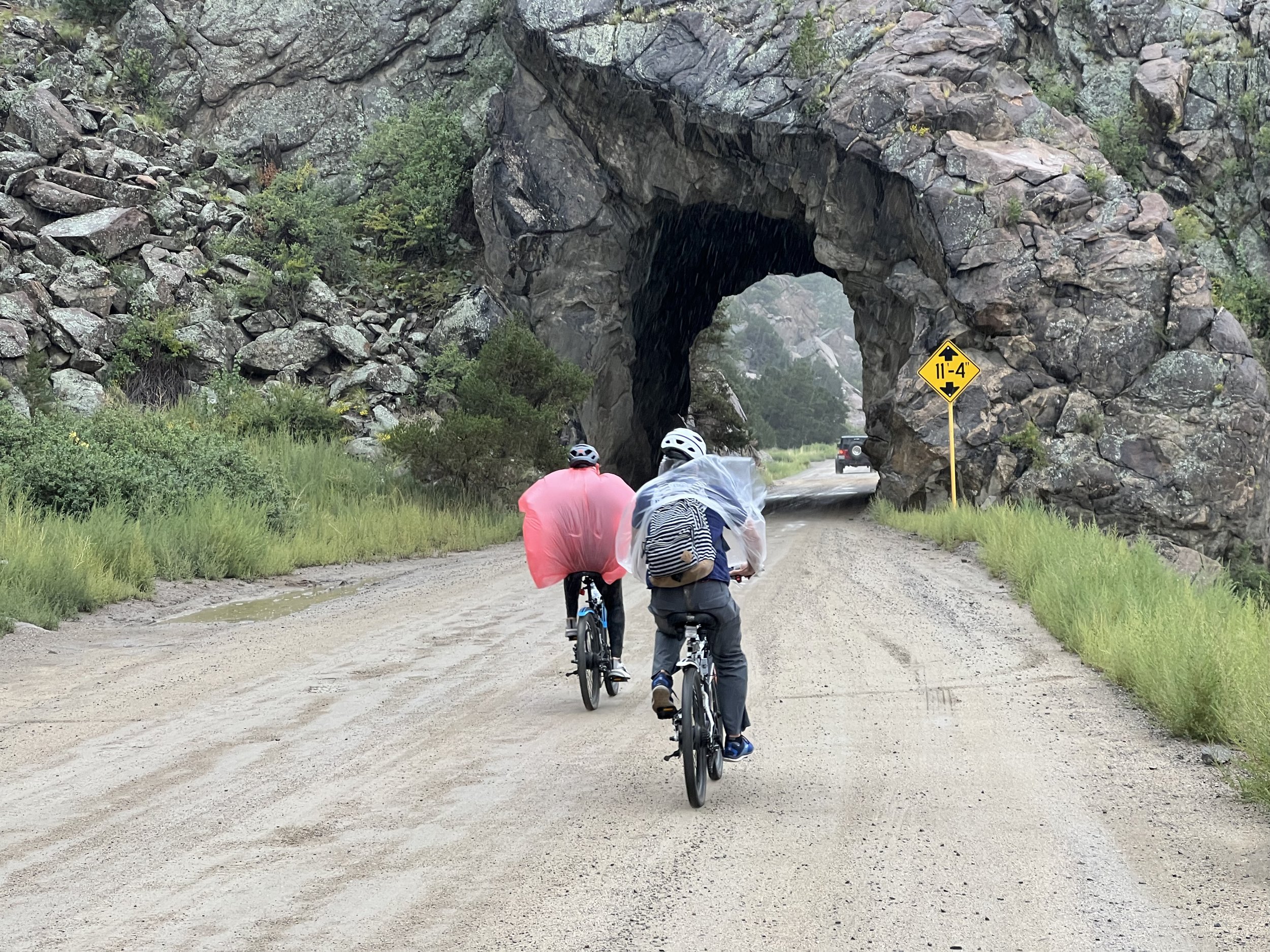
I was worried about the car danger on the nine-mile uphill highway climb in the dark. I had lights but cars have drunks. Fortunately, it was a non-issue. Only two cars passed, and they both gave me a wide berth.
Most of the racers directly ahead of me had made it to the general vicinity of Mt. Princeton Hot Springs the night before, probably very wet. This is about 20 miles and 3,000 feet of elevation gain from where I started the morning in Buena Vista. There were not many racers directly behind me. I was in a virtual no-man’s land.

Somewhere between Mt. Princeton Hot Springs and Hwy. 50… it all kinda looks the same.
I still didn’t have a solid idea of how far I’d need to get that day to stick to my seven-day finish goal.
I hoped to see some of my new friends again and knew several of them were aiming for a similar pace. I figured chasing down a dot or two should get me back on track. I thought that might require at least getting to Marshall Pass if not the beginning of Sargents Mesa. That seemed doable but would involve a ton of elevation gain on trails I’d never toured.
I’d just have to see how the day went.
Fortunately, my legs were good, but the weather was still very iffy. It wasn’t generally raining but the Collegiates were totally socked-in, and I had to suit up a few times for waves of drizzly mist.
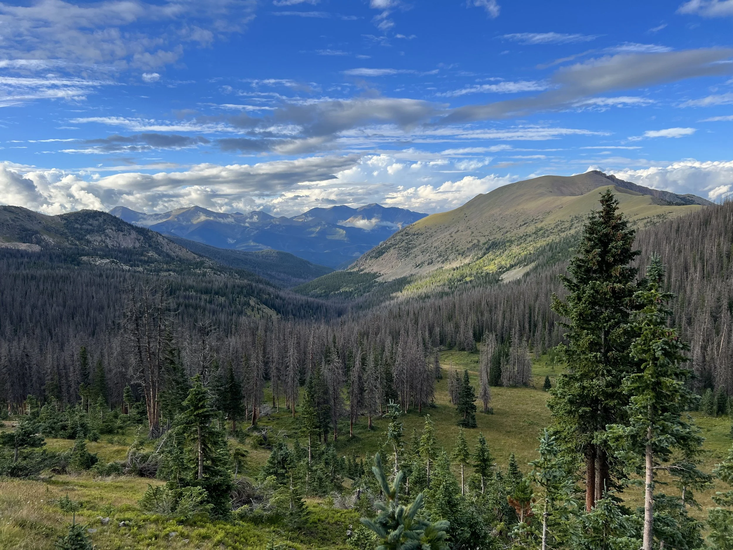
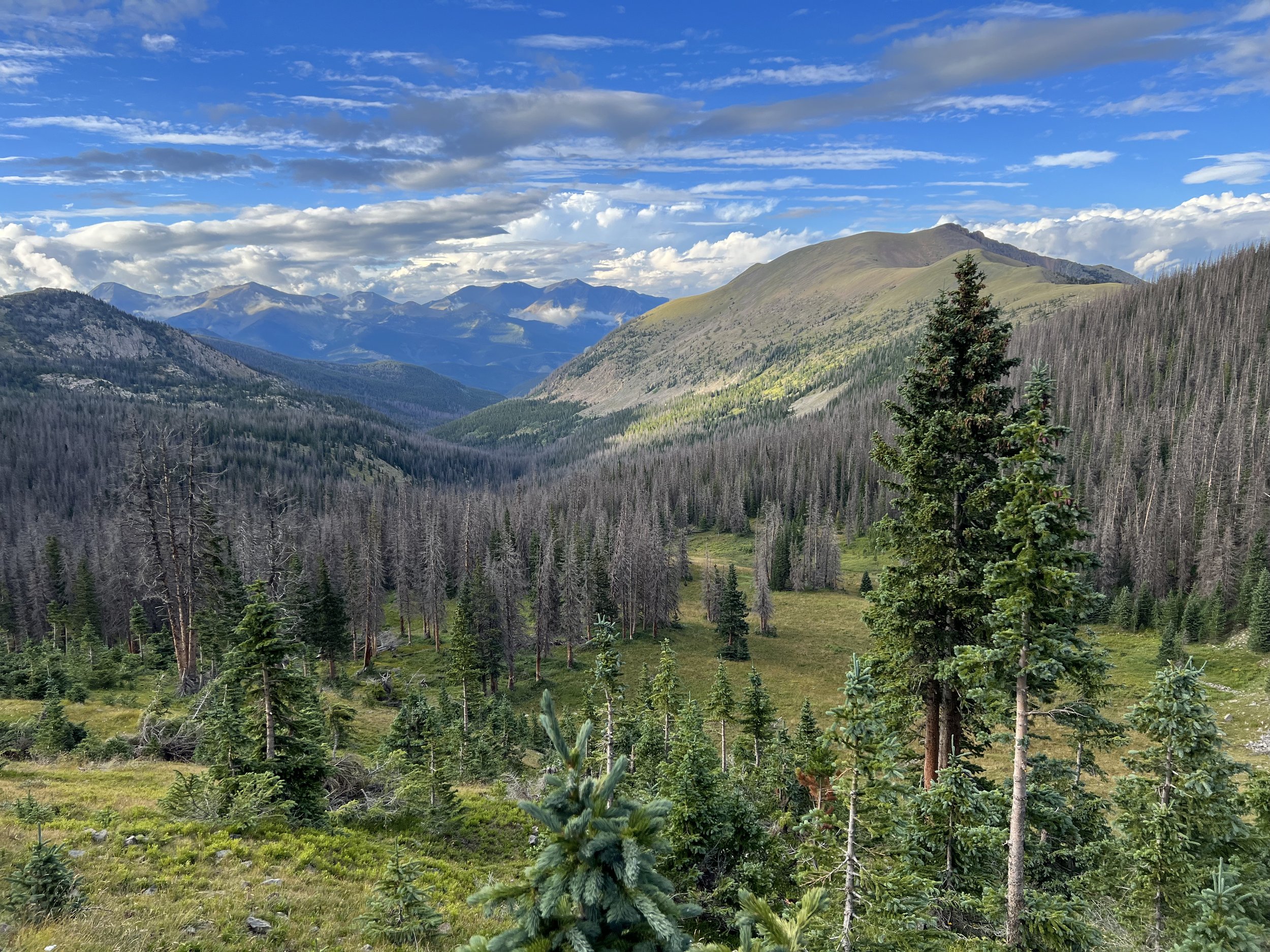
The ~32 miles between Cottonwood Pass Rd. and US Hwy 50 (the foot of Fooses Creek) have many nondescript ups and downs. Some of them are big, involving significant hike-a-bike tempered only by the fact that their elevations are lower than the course average. The misty skies were really a blessing through that area, which would otherwise have been very hot.
I stopped at Mt. Princeton Hot Springs for a quick 700 calories of Pringles and Hostess cupcakes.
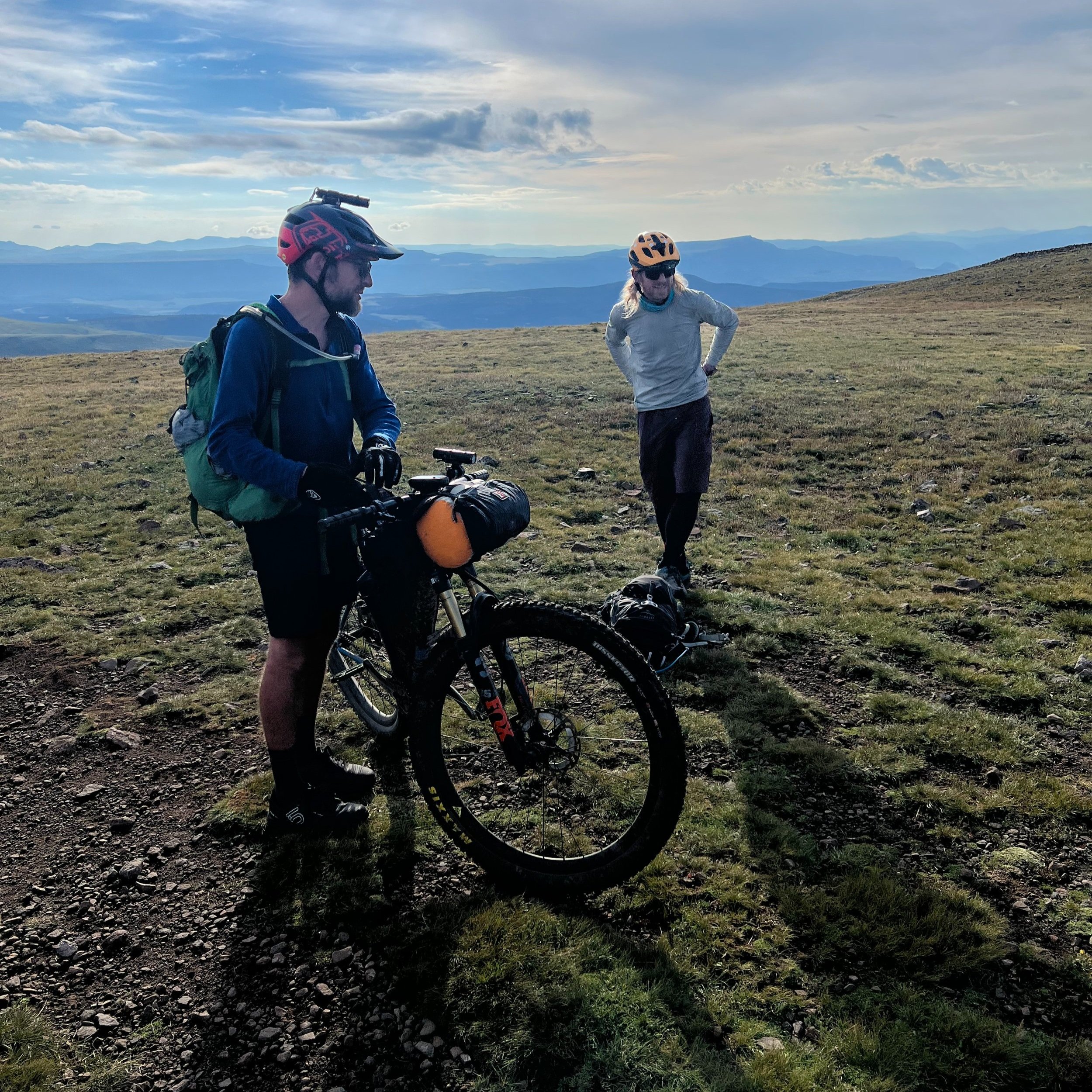
Though I saw no racers through this stretch, I did run into a number of day riders and one NOBO CT rider. Everyone was super friendly and encouraging.

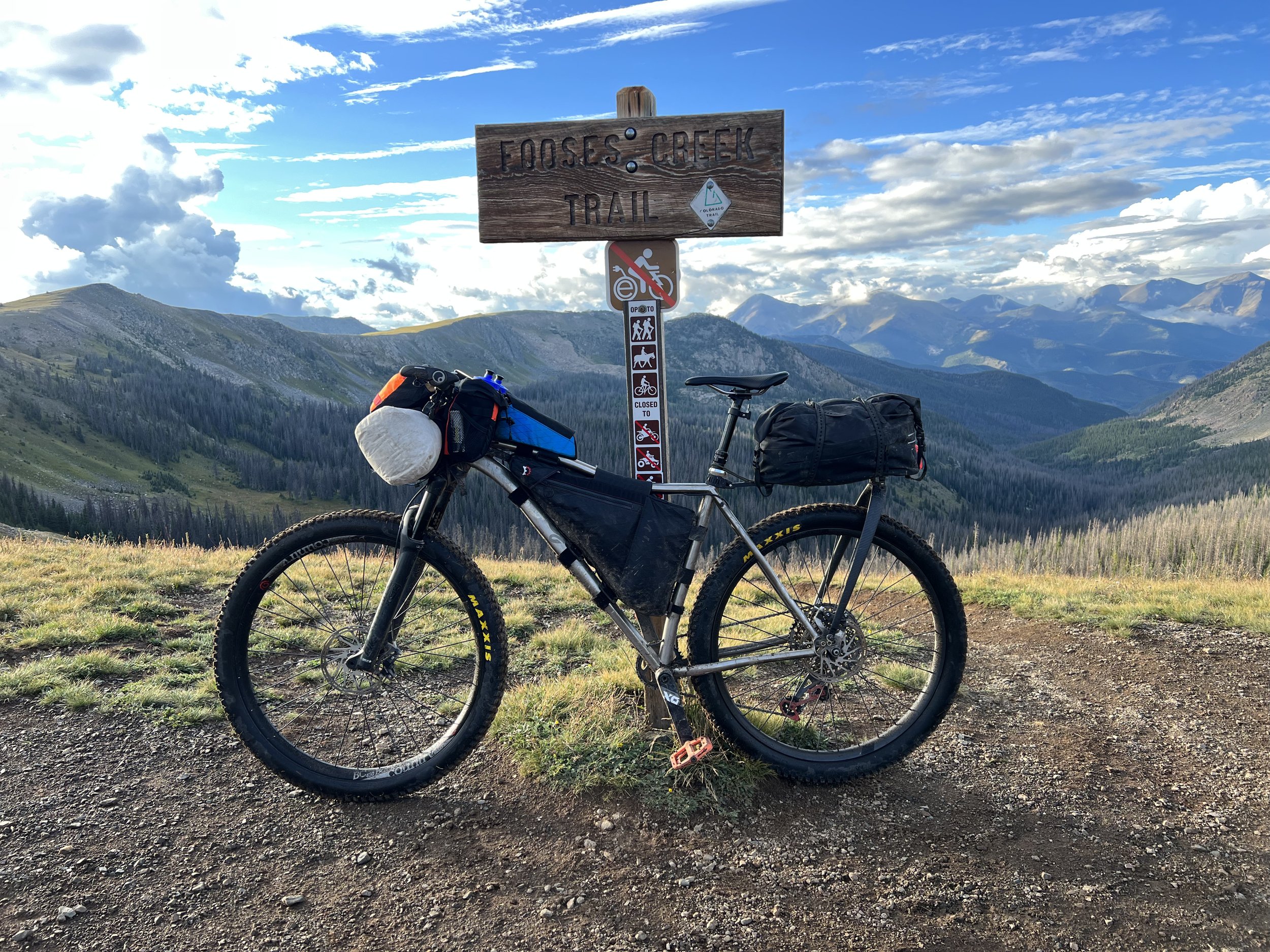
Looking up the long Fooses Creek climb from the north side of Hwy 50.
I made it to the bottom of Fooses Creek just as the cloud bank was starting to clear off the divide.
Shortly after beginning the climb, I began having this fantasy that a bear would come and guide me through Sargents Mesa later that night. My mind fully engaged. When I finally snapped out of it, I was close to the last creek crossing on Fooses. It was like I’d been lifted over 6 miles of physical suffering while dreaming about a place I had yet to experience. “What does that mean? Something? Nothing? Oh well. I’m here.”
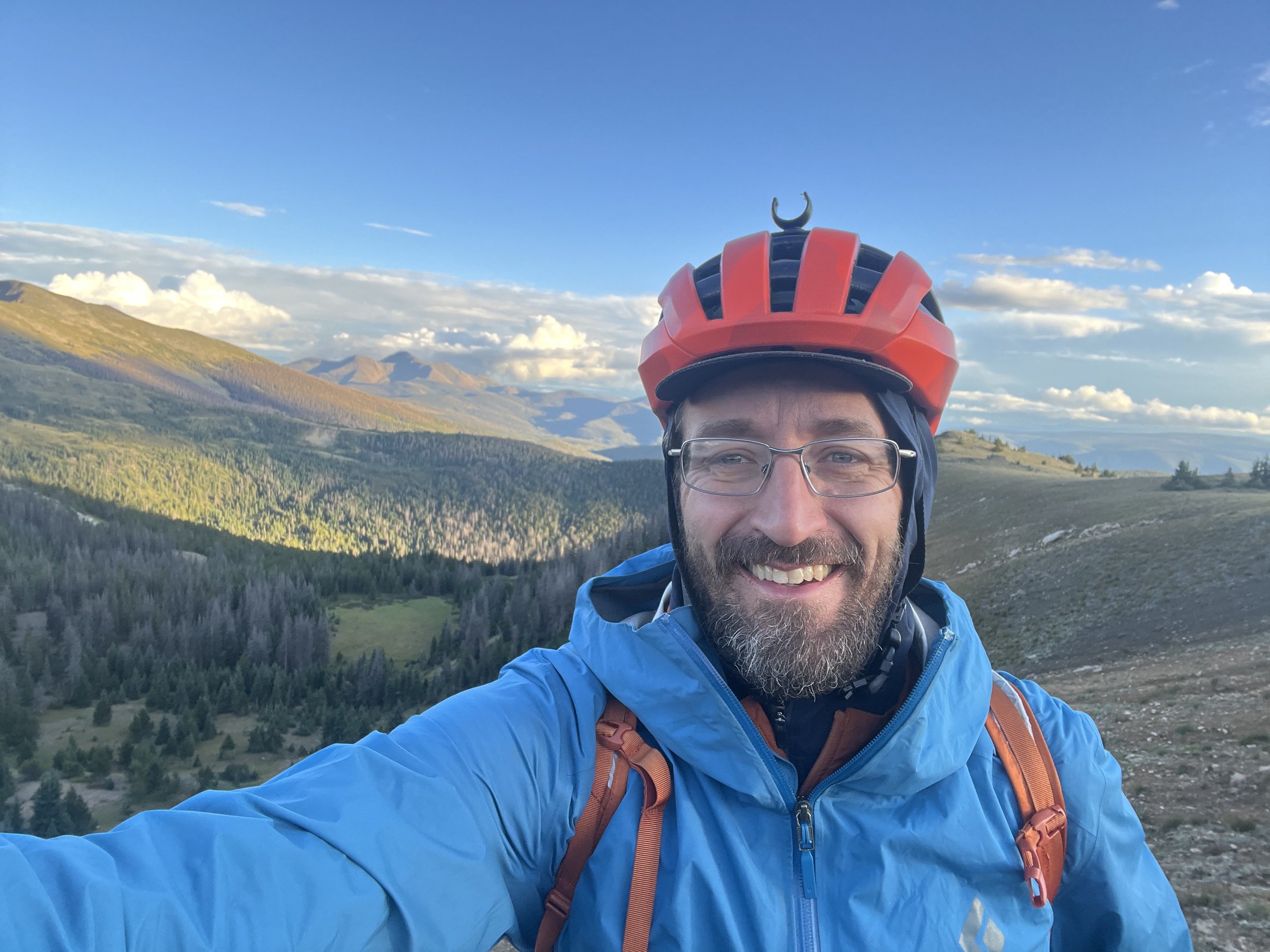
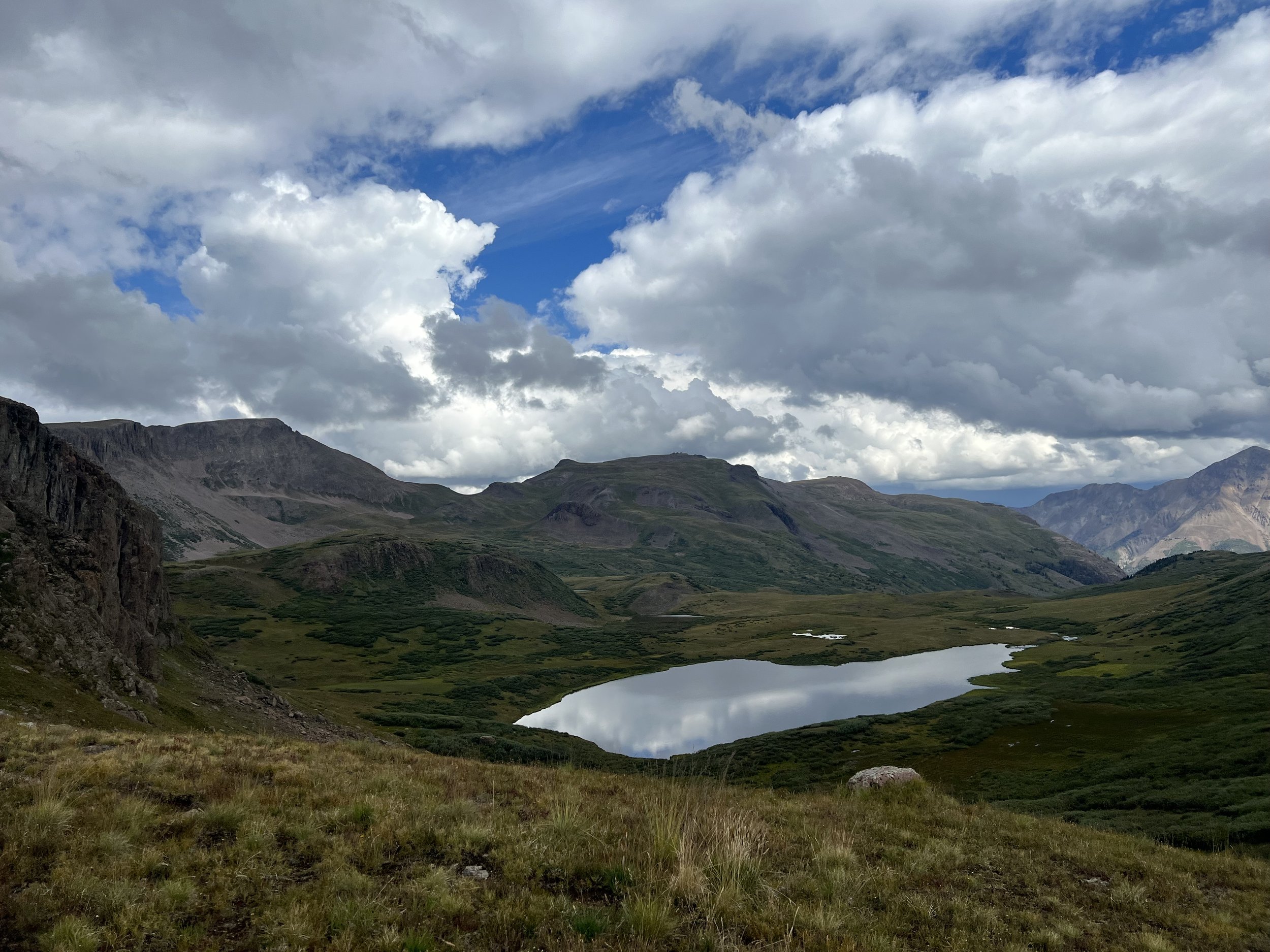
Not knowing the water availability ahead, I (over)filled with a 7-liter water stop and struggled up the last steeper section to the Continental Divide. I reached the top just in time for a beautiful sunset. The clouds had moved on, but it was breezy, muddy, and chilly. I bundled up.
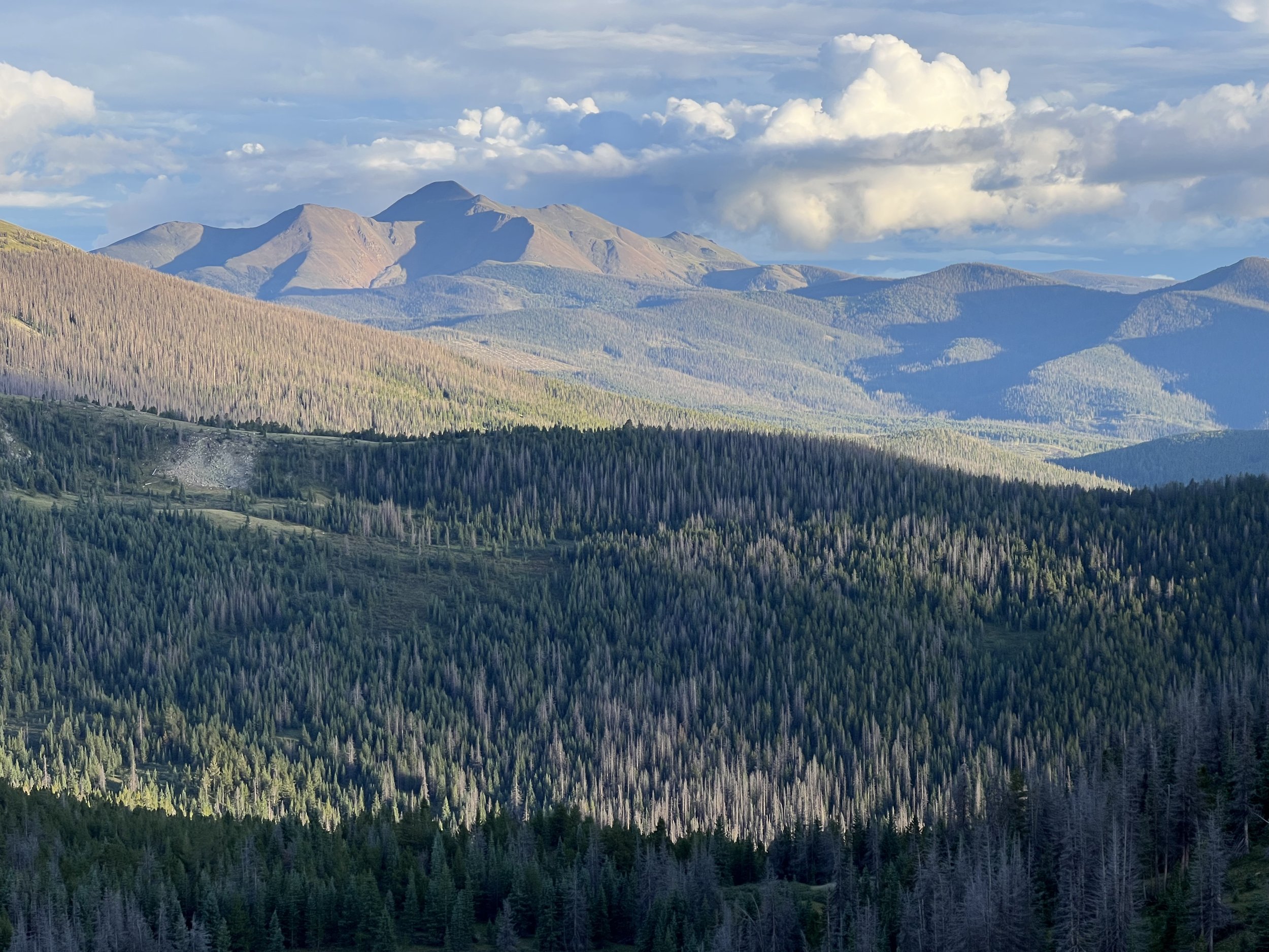
I gave one last glance at the Arkansas Valley where the siren's song of civilization nearly derailed my race the day before; then turned to meet the monsters of Marshall Pass.
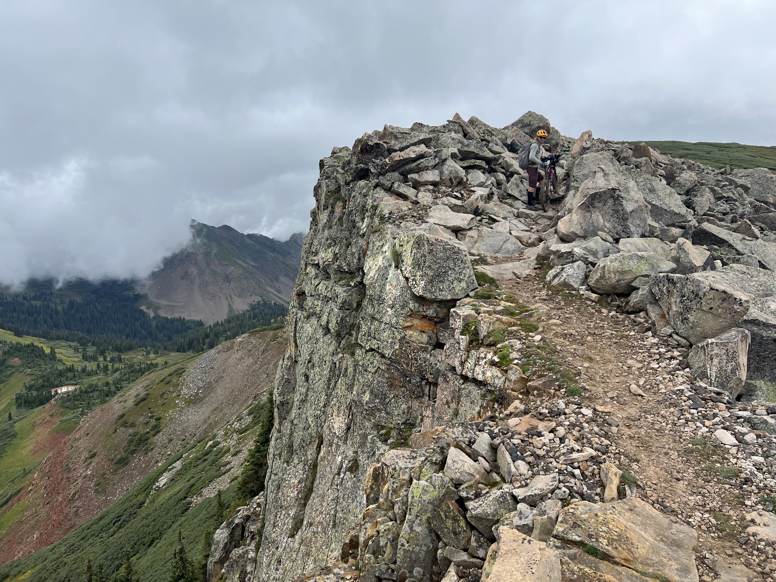
I was getting tired but enjoyed the next several miles of good riding along the divide.
They went by quick, and I got to Marshall Pass at last light.
The next high elevation section, to Windy Point, was in dark, dense, fog.
The riding was decent at first, then muddy, then sticky muddy, then shitty sticky muddy. The worst was a completely unrideable ~1-mile section of cow-shit-mud-slurry that was so slippery and sticky I could barely walk through it. Fortunately, that abruptly ended at a cattle gate, beyond which it was just regular mud again. My drive train got super trashed through this area, and I had to stop a couple of times to clean and revive it.
Then came a 2-mile-long rocky descent from hell. It was slow and technical. I’d been on the move for close to 20 hours straight, and the trail just didn’t care. It felt endless.
Finally, the descent let up, but the rocks and mud didn’t. The spruce forest was replaced with this ugly ass lodgepole toothpick abomination. “If Lucifer’s anus has a trail through it, this must be it,” I thought.

Sunset approaching Marshall Pass… just before things got weird.
Progress became very slow.
I could see (on Trackleaders) that dots were starting to settle in at Tank Seven Creek. That was now only a few miles ahead. “I can catch them! Heck, maybe I’ll just keep rolling and dispatch Sargents Mesa in the dark!”
Already punch drunk on irrational thoughts, I noticed a cabin light over my shoulder. I recall thinking it a little strange there would be a cabin all the way up on the divide (there isn’t), but didn’t give it much mind until it was still there a mile later, and a mile after that.
Finally, I came to a clearing where an alternative explanation revealed itself… the moon had risen on the wrong side of the earth.
It was one or the other of these two non-senses. Have your pick. I didn’t care. I still don’t. There was only one scary monster in the woods that night, and it was riding my bike.
I finally rambled into Tank Seven around 1am. There were tents and bikes. “I caught them!”
I didn’t want to disturb anyone, so I kept going up the creek looking for a suitable spot to crash. Long dead was any thought of continuing to Sargents Mesa that night. My feet were disintegrating, and I was totally zonked.
Still, I had to continue quite a distance before finding a suitable flat spot between two wet cow patties to stake out my tent. I spent some time cleaning up my trench foot wounds; eventually getting to sleep around 2am still riding high on what, for me, felt like a massive day.
Route & Elevation Profile

(Buena Vista to Fooses Creek Summit | 3:44am-7:02pm)
Distance: 52:00mi | Elevation gain: 10,715ft | Moving time: 10:30 | Elapsed time: 15:18
Note: My device stopped recording elevation and distance about 0.75mi, 800ft, and 30min. from the top of Fooses Creek. Those rough numbers have been added into the summary above.

(Fooses Creek Summit to Tank Seven Creek | 7:10pm-1:10am)
Distance: 17.13mi | Elevation gain: 2,487ft | Moving time: 4:00 | Elapsed time: 6:00
2022 Colorado Trail Race


For those unfamiliar…
The Colorado Trail Race (CTR) is a solo, self-supported, ultra-endurance mountain bike race through the Colorado High Country. There is no entry fee, no aid, no support, and no prize for finishing. You might think of it as a “Cannonball Run” for mountain bikers, except it’s legal, and infinitely harder…